
Finding a Wyoming Street Directory Result
A street result should begin with the address, not a list of people. The City of Wyoming assessor and Kent County property tools connect a parcel to its physical location, while the Register of Deeds documents recorded title. A directory entry can add a dated household snapshot. Those records answer different questions. Keeping them separate avoids turning an owner, a mail recipient, or a permit applicant into an unsupported claim about who lives there.
- Enter the full address in the Kent County Property Search or begin with the City of Wyoming assessor route. Save the parcel number, situs address, legal description, and owner spelling exactly as displayed.
- Open Kent County Parcel Mapper, accept its disclaimer, and select the same parcel. Check the road label, municipality, parcel shape, and nearby parcel IDs before moving along the street.
- Use the current owner or legal description in the Kent County deeds search. Record the instrument number, date, grantor, grantee, and any prior-reference field instead of relying on a street-name match alone.
- For a person already identified and providing the required name and birth-month/year details, use Michigan Voter Information Center only to confirm the clerk or polling jurisdiction. It is not a street-by-street voter list.
- For an older household question, compare the street and surname sections in regional directories. The Grand Rapids Public Library's suburban Kent County run is useful where city-boundary editions leave gaps.
Each step narrows a record problem. None alone proves a current household. The strongest street directory result preserves its access date and labels the evidence as parcel, title, map, election administration, or published directory evidence.
Wyoming Street Directory Address Checks
Kent County asks searchers to treat the full address as a tuple: house number, directional prefix or suffix, street name and type, municipality, ZIP, parcel number, and county. That is vital on 28th Street. County instructions note that the same corridor runs through Grandville, Wyoming, Kentwood, and Cascade. A result without SW, NW, SE, or NE can point to the wrong government office and the wrong parcel.
Check the municipality returned by the property record, not only the text typed into a search box. Then retain the ZIP as a postal label rather than a boundary ruling. The city itself uses 49509 at City Hall, yet an official Wyoming utility address uses 49418. That mismatch is a normal reason to verify the parcel jurisdiction before expanding a street search.
Note: If the portal corrects a street spelling or removes a suffix, retain the original query and rerun the normalized version for comparison.
Wyoming Street Directory Parcel Search
The City of Wyoming Assessors Office describes a property record system for about 25,000 real and personal property parcels. Its parcel cards can include owner names, mailing and situs addresses, sketches, photographs or drawings, permit references, transfer history, assessment information, and map context. Search by address first, then search the returned owner name only to test whether the same parcel comes back.
| Search or result field | How it helps a street search | Care needed |
|---|---|---|
| Owner name | Finds parcels associated with the displayed owner | An owner is not automatically a current occupant |
| Address or street number | Opens the parcel tied to a road location | Keep every directional suffix and unit detail |
| Parcel number | Connects the map, tax description, and legal record | Save it before comparing similar street numbers |
| Mailing and situs address | Separates correspondence from the physical parcel | Do not substitute one for the other |
| Transfer, permit, sketch, or map | Adds dated property context | These fields do not create an occupancy record |
The Kent County Property Search source below is the county entry point for this reciprocal check.
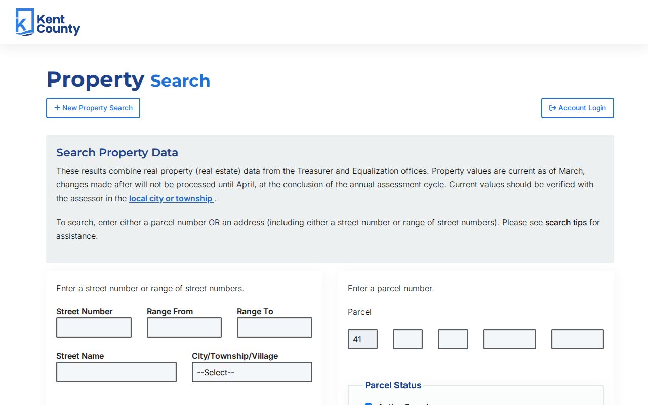
Use a returned parcel and legal description to steady the search when two streets share a similar name or when a mailing address lies outside Wyoming. Exact live field labels were not exposed in the official HTML, so do not assume that an unshown filter exists.
Mapping a Wyoming Street Directory Search
Parcel Mapper supplies the physical part of a Wyoming street directory search. It has an address search box, a disclaimer, clickable parcel geometry, road labels, and adjacent-parcel context. After selecting the target, record the parcel ID, the road label, map layers, and the surrounding parcel IDs. Pan only far enough to confirm sequence and jurisdiction.
A polygon is not a household record. It shows where a parcel is and helps separate a nearby lot from the one that matches the address. For tax descriptions and sales-history context, return to county property search. For city parcel-card detail, use the assessor. The public GIS materials state that map content carries no warranty as to accuracy, completeness, or usefulness, so log the date viewed.
- Parcel
- A defined piece of land used in assessment and mapping records, usually tied to an identifier.
- Situs address
- The physical address of the parcel. It differs from an address used for tax correspondence.
- Plat
- A recorded map that lays out a subdivision, lots, blocks, or streets and can bridge an older legal description.
- Criss-cross directory
- A reverse-style directory arranged by street and house number rather than only by surname.
Note: Capture the map date and layer name along with the parcel ID, since a map display is context rather than a title or resident record.
Wyoming Street Directory Record Layers
Several public systems are keyed to an address, but they do not expose the same thing. The table keeps the street directory chain focused on records that can be checked by a street, parcel, or legal description. It also shows alternatives when a web result is incomplete: city office, county counter, library, or a focused written request.
| Address record | Keeper | Street-level value | Access route |
|---|---|---|---|
| Parcel card | Wyoming Assessor | Situs, mailing, transfers, sketches, permits | Website or office during normal hours |
| Tax and property detail | Kent County | Property, sales, and tax-description context | County Property Search or Equalization/Mapping |
| Parcel map | Kent GIS | Geometry, road line, and adjacent parcels | Public Parcel Mapper |
| Recorded instruments | Kent Register of Deeds | Deeds, mortgages, liens, and legal chain | Online index, written copy request, or counter |
| Permit and code record | Wyoming Inspections | Work dates, project evidence, code status | BSAOnline and paper routes |
| Published street section | GRPL regional collections | Dated household and address notation | Library, microfilm, and eligible online resources |
The City of Wyoming assessor source is useful for current property context, as shown below.
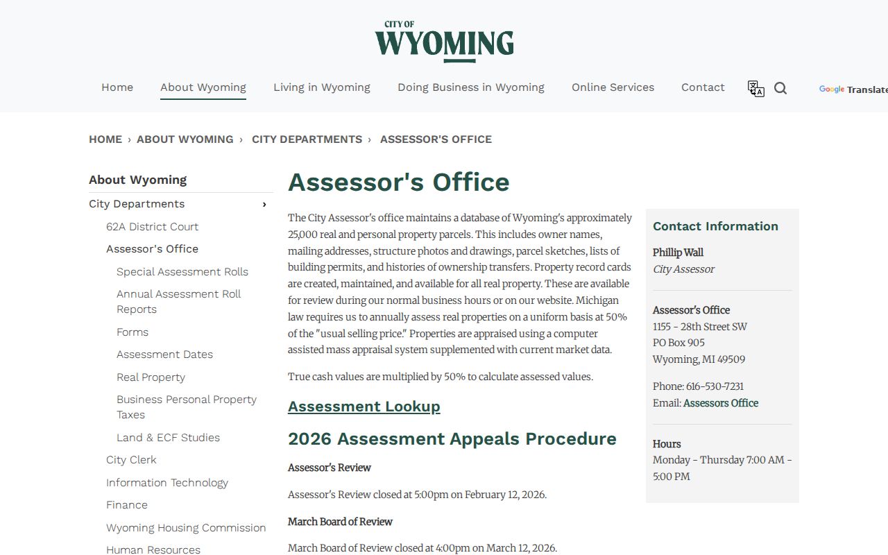
When an online record is missing, ask the custodian for one narrow record, a date range, and the address or parcel ID. Michigan FOIA routes are for non-exempt agency records, not a request to create a new street roster.
Deed Chains Along Wyoming Streets
The Kent County Register of Deeds records deeds, mortgages, land contracts, liens, and other real-property instruments. Its Basic Document Search states coverage back to January 1, 1970. Begin with the latest grantee from the parcel record, then locate the instrument by party name and examine its legal description. The preceding grantor becomes a lead for the next earlier conveyance.
The online index is free to search. The county says printed or downloaded copies became $1 per page on June 22, 2026, while Advanced Subscription Access offers unlimited viewing and printing for the stated subscription options. Verify this live access rule before paying because the county can change it. A mortgage, release, easement, or lien may mention the parcel without marking a change in ownership.
For an older instrument without a modern street address, use the lot, block, subdivision, or metes-and-bounds legal description. If the online chain reaches its 1970 boundary, ask the Register of Deeds or library for the appropriate earlier index or book series rather than guessing from a street label.
Note: A title chain supports ownership history. It does not, by itself, establish who occupied the property at any particular time.
Wyoming Street Directory Permit Clues
Address-keyed permits can add a date and a type of work to a Wyoming street directory search. The city links BSAOnline for existing building, mechanical, electrical, and plumbing permits. Homeowners can search without an account, while contractors use a registration and sign-in route. Paper applications may be mailed, delivered in person, or placed in the drop box.
A permit shows work or an administrative step at an address. It does not prove that the applicant lived there, owned the property, or remained there afterward. For public works context, Wyoming Engineering lists permits involving concrete, utilities, sidewalks, water and sewer, block parties, dumpsters, oversized loads, and tree work. That is street and infrastructure evidence, not a resident list.
Wyoming Street Directory History Checks
When the question is historical, compare dated directory editions rather than treating a current parcel card as a time machine. The Grand Rapids Public Library directory holdings include suburban Kent County directories from 1957 through 1997 and Kent County East/West editions from 1998 forward. Use the street section by number, then the surname section, and note household marks, phone entries, and “new” or “removed” labels where the edition supplies them.
The collections have gaps. The listed R.L. Polk gap years include 1947, 1950, 1952, 1957, 1989, and 1991. An absence in a missing volume is not evidence of a move. The historical shelf belongs in more detail with the Wyoming city directory collections; use it here as a dated cross-check for a specific address.
Pre-1959 material may use township or Kent County language because Wyoming incorporated as a city in 1959. A suspected renumbering needs proof. No official Wyoming-specific renumbering ledger was located, and the 1912 Grand Rapids address-change key must not be treated as a Wyoming record. Compare plats and consecutive editions, then ask the city assessor, Engineering, or Clerk for a focused historical record.
Note: Preserve the directory edition and page beside the address. A published household entry is a dated snapshot, not a continuing residency claim.
Limits of a Wyoming Street Directory
A Wyoming street directory can identify property and published address evidence, but it cannot safely turn every public field into a person profile. Mailing addresses can differ from situs addresses. Parcel maps show geography. A deed names parties to a transaction. Election tools provide limited registration and jurisdiction information, and Michigan withholds protected Qualified Voter File fields. Court, permit, or directory records also need their own date and context.
Michigan's Address Confidentiality Program provides a designated address and mail forwarding for qualifying people at risk. A substitute address, a missing address, or a redaction is a safety limit, not an error to work around. For a public-record request, identify the proper custodian, record type, date range, and preferred delivery. Michigan FOIA generally provides five business days for a response, with one ten-business-day extension permitted.