
Wyoming Neighbors by Parcel
The public sources for Wyoming neighbors describe parcels, ownership records, maps, and community programs. They do not create a complete current household list. Begin with a map question, such as which lots share a boundary or which municipality holds an address. Then use the assessor, county property search, or deed index only for the record each one actually maintains. Owner, mailing recipient, and occupant are separate concepts.
| Source | What it shows about a block | Access |
|---|---|---|
| Kent Parcel Mapper | Parcel shapes, road lines, adjacent polygons, and map context | Public GIS viewer |
| Wyoming assessor | Parcel card, mailing and situs fields, transfers, sketches, and permits | Website and office |
| Kent deeds | Recorded title instruments for adjacent parcels | Free search, paid copies |
| Directory street section | Dated published household entries by house number | GRPL print and microfilm |
| Community resources | Neighborhood-watch support and organization leads | City or organization contact |
Use the table as a boundary check. A map establishes adjacency, an assessor card establishes an administrative property connection, and a deed can establish a recorded title event. None is a real-time presence test.
Map Wyoming Neighboring Parcels
Kent Parcel Mapper is the right first screen for an immediate block. Search the target address, accept the displayed disclaimer, select its polygon, and record the parcel identifier. Pan in each direction and save the visible adjoining identifiers, road labels, directional suffix, and municipality label. The shared 28th Street corridor crosses Grandville, Wyoming, Kentwood, and Cascade, so the direction and city are essential record fields, not map decoration.
- Locate the street address in Kent Parcel Mapper.
- Capture the target parcel, the clearly adjoining polygons, roads, city label, and map date.
- Open each parcel through the county property tool or City of Wyoming assessor only when a property record is needed.
- Use a dated deed record if recorded ownership, rather than map context, is the question.
For a longer named-street chain, use the Wyoming street directory approach. It handles address-to-deed work without turning this block view into a street-wide roster.
Read Wyoming Owner Fields Carefully
The City of Wyoming assessor says its property system includes owner names, mailing addresses, parcel sketches, structure photos or drawings, permits, and transfer histories for about 25,000 real and personal property parcels. A situs address identifies the physical parcel. A mailing address may be a tax-bill destination, owner address, or agent address. It should not be described as the location where a person lives.
- Situs address
- The physical location assigned to a parcel.
- Parcel ID
- The property identifier that ties a map record to tax and legal-description materials.
- Legal description
- The lot, block, subdivision, or metes-and-bounds wording used in property records.
When adjacent addresses look similar, compare parcel ID, legal description, and municipality before making a map note. A boundary or ZIP label is not a replacement for those fields.
Compare Wyoming Block Title Records
Kent County’s Register of Deeds records deeds, mortgages, land contracts, liens, and other real-property instruments. The Basic Document Search has a stated index back to January 1, 1970. Searching remains free; printed or downloaded copies cost $1 per page after June 22, 2026. Search current grantee and grantor names separately, preserve the instrument number and recording date, and check the legal description before treating a result as a title event.
Title is narrower than a neighbor question. A mortgage, release, or lien does not mean a new owner. A title record may explain a parcel relationship without proving current residence, so keep the source type and date visible in any notes.
Wyoming Neighborhood Support Leads
Wyoming Police Community Services supports existing and new Neighborhood Watch groups. The city names Sgt. Robinson, 616-257-9711, as a contact for that program. A 2017 National Night Out item listed Rogers Lane, South Godwin, Oriole Park, and Rolling Hills as historical published participants, along with several other event sites. That is useful local-history context, not a current membership directory.
The Greater Wyoming Community Resource Alliance is a city-described umbrella organization for community, business, and citizen activity. It supports neighborhood improvement and associations, but the city page did not provide a public member directory.
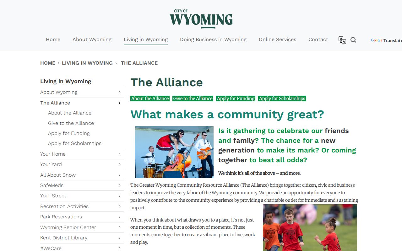
The image documents an official community-resource route. Ask the organization or City Community Services about current public contacts instead of assuming a historical event list is current.
Wyoming Neighbor Records Compared
Official record types and broad people-finder categories are not interchangeable. A county map shows physical geometry, a parcel card gives assessment fields, and a deed index supplies recorded instruments. A commercial result can combine stale or unverified data and may omit the source date. For family, civic, or property curiosity, prefer the custodian record and document what it does not answer.
| Question | Best documented source | Limit |
|---|---|---|
| Which parcels touch? | Kent Parcel Mapper | Map does not identify current occupants |
| Who is named on a property record? | Assessor or recorded deed | Owner or mailing field is not residency proof |
| Which community group may be relevant? | City Community Services or Alliance | No current member roster found |
Find Past Wyoming Neighbors
For a historic block, Grand Rapids Public Library directory street sections provide dated address snapshots. The regional collections include the Grand Rapids Suburban Directory from 1957 to 1997 for Kent County outside Grand Rapids limits, along with R.L. Polk and later Kent County East/West runs. Compare consecutive years and preserve the edition, page, house number, and spelling. A missing edition can reflect one of GRPL’s listed publication gaps, not a missing household.
Historic entries are best used with deed or parcel context. Pre-1959 material may use township wording because Wyoming became a city in 1959.
Keep Wyoming Neighbor Searches Safe
Michigan’s Address Confidentiality Program provides qualifying people a designated address and mail-forwarding protections. Do not attempt to reverse-engineer a protected location from a map gap or mailing discrepancy. Michigan FOIA allows requests for non-exempt records, but a focused request to the proper custodian is more appropriate than asking for a list of everyone near an address. Sensitive voter, court, and public-safety fields have their own limits.
Lawful use. Use Wyoming neighbor records for personal, lawful property, family-history, civic, or safety questions. Do not use public information to monitor, stalk, harass, intimidate, or harm anyone.
Note: Map proximity can identify adjacent parcels, but it cannot identify a current household or override a protected record.